Dates of Trip: 4-8 August 2023
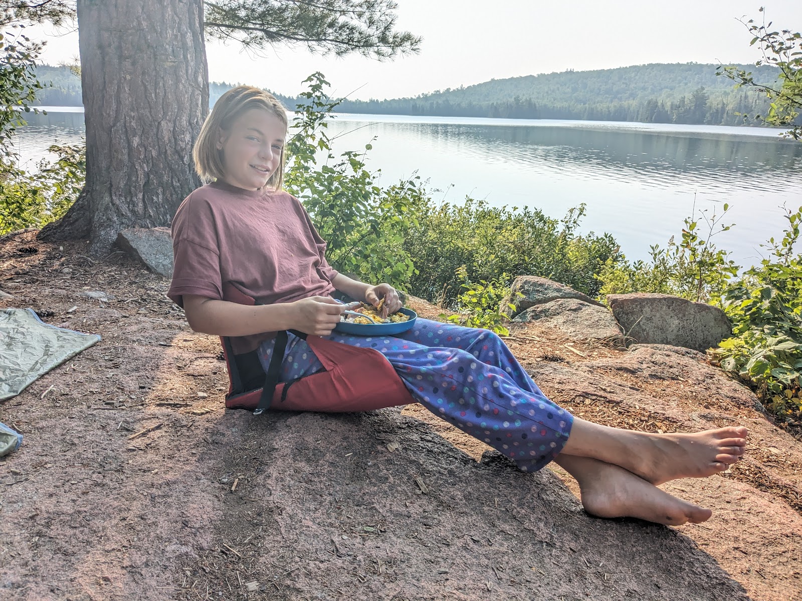
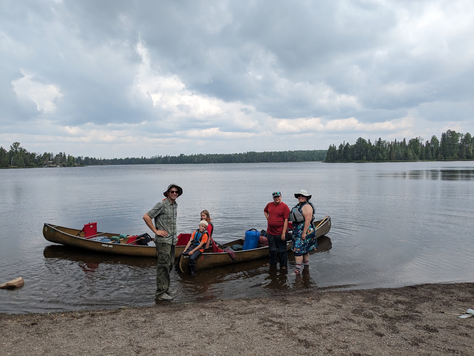
Adventurers: Travis, Amy, Andrew, Clara, Nate
Location: Boundary Waters Canoe Area Wilderness, MN, USA
Trailhead: Kawishiwi Lake - Entry point #37
Trip Objectives: Lady Chain (Camps on Lake Polly, Phoebe Lake, and Beth Lake)
Distance: 31.9 miles
Portage distance: 12.6 mi
Longest portage: 287 rods / 0.9 mi
18 portages; 12 lakes and 2 rivers
5 days and 4 nights at 3 campsites
Wildlife spotted: 2 bald eagles, 2 otters, 6 turtles, 1 beaver. Many many loons, grouse, and a bird that looked like a chicken(?!) No moose :( but also no bears :)
Route: Kawishiwi Lake, Kawishiwi River, Square Lake, Kawasachong Lake, Townline Lake, Lake Polly (camp), Phoebe River, Hazel Lake, Knight Lake, Phoebe Lake (camp/layover), Grace Lake, Beth Lake (camp), Alton Lake, Sawbill Lake. Then Travis used his cached bike to ride 20 miles back to Kawishiwi to get the van and close the loop.
Most of the lakes in the BWCA either bear their original Anishinaabe names or were named in English by trappers and loggers. This southeastern section of the area has an abundance named after women - presumably wives, daughters, mothers, or sisters - and are easily linked together into a single route which collectively goes by the "Lady Chain."


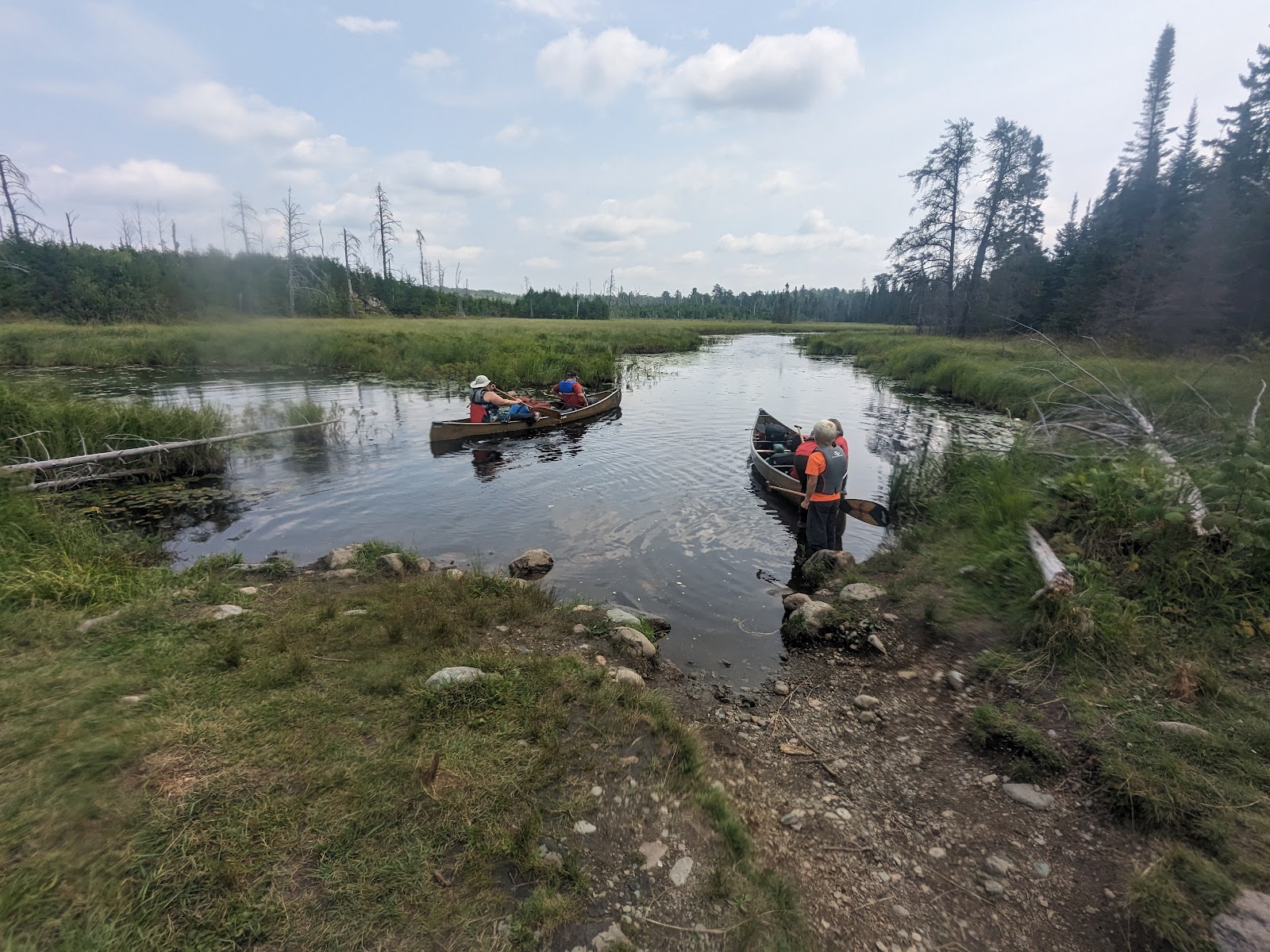

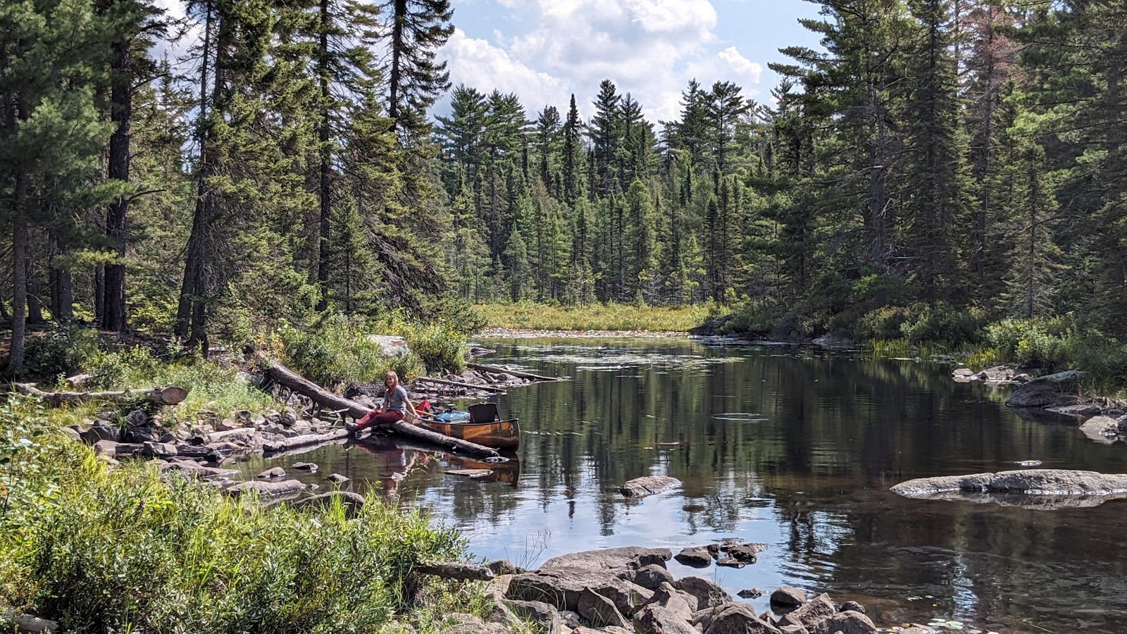
Overall, it was a glorious trip. The Lady Chain was challenging - long, for sure, with the longest portage we've ever done at 287 "rods" (1 rod = ~16.5 feet or approximately the length of a canoe) or 0.9 miles. It also featured multiple sections of two rivers - Kawishiwi and Phoebe - which presented obstacles like thick lily pad mats, beaver dams, and rocky channels where we had to get out and walk the boats due to low water levels. The route also offered a lovely paddle-to-portage ratio with some really gorgeous, relaxing sections as well. The Lady Chain is allegedly a "popular route" but the fact is that the vast majority of people stop after a portage or three and turn around. We did not see a single human other than a forest ranger from leaving Lake Polly to entering Beth Lake.


This is our second annual trip to the BWCA. Last years trip was quite experimental, and we did an out-and-back route to Cherokee Lake. Building on that success, we thought we'd try something more ambitious - a through-paddle with the takeout at a different entry point (Sawbill) than the put in (Kawishiwi.) We originally had an entry permit for Sawbill, but literally on the way from Duluth to Sawbill, we noticed that there was a same-day Kawishiwi launch permit available, so we snagged it, allowing us to have a smoother, less logistics-heavy and time consuming vehicle transfer.
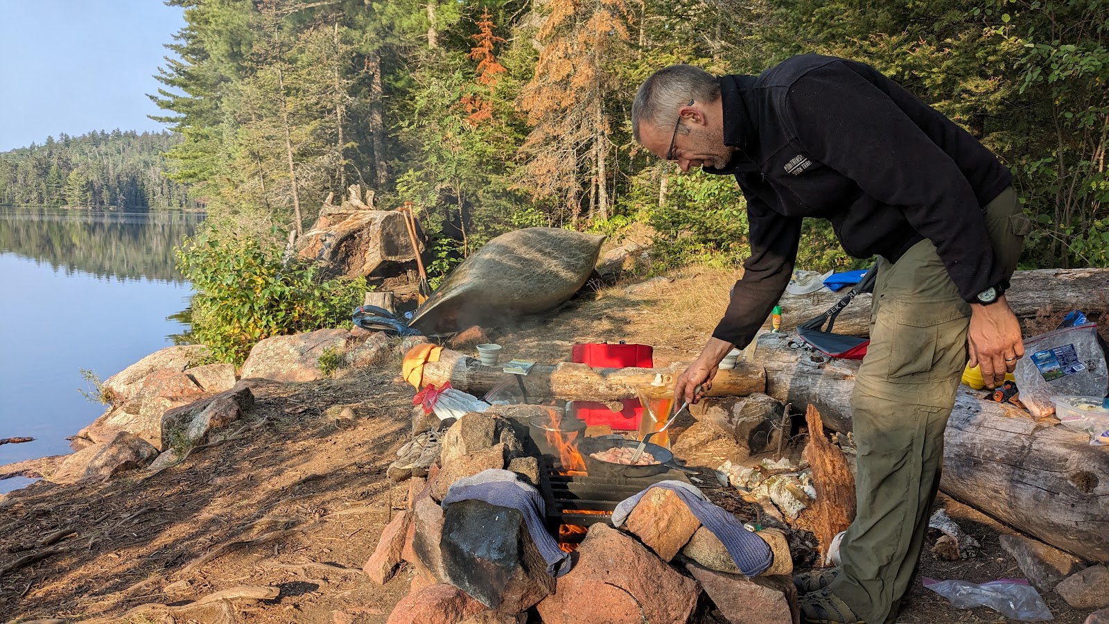
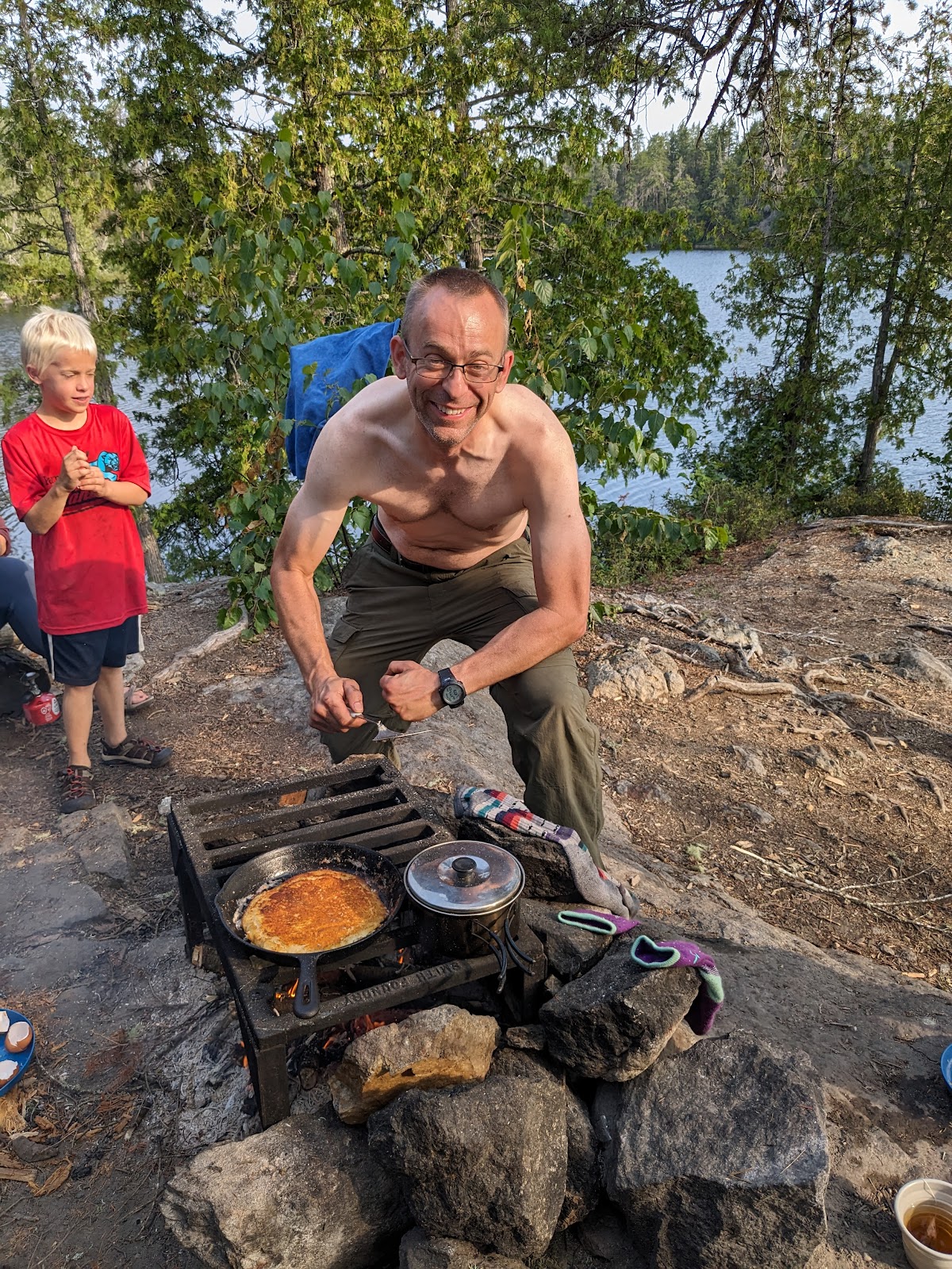
Also different from last year, we opted to stay the night before in an AirBnB in Superior, WI (suburb of Duluth), which allowed us to layout gear, repack gear, and organize food more smoothly the night before than being in the NFS campground would have. We rolled into Sawbill Canoe Outfitters around 930am to pick up canoes and our permit, watch the Leave No Trace video, get the canoes on the boat trailer, and make our way to Kawishiwi Lake for an 11:45am launch.
Unlike last year, I spent some time with the route (admittedly, on the road up from Duluth that morning) checking out campsite ratings on BWCA.com and making lists of our preferred sites. This means that we scored amazing sites, all rated 4 stars.
Portaging went super well this year, with the kids a year older and able to help big time. Andrew portaged canoes on shorter transfers. Clara carried lots of bags and often made more than 1 portage. We were so efficient, that often Travis was the only one who did a full double portage, with Clara and me doing 1.5-ish.


We had a few injuries. Notably, Nate fell and skinned the heel of his hand the first day in a place hard to bandaid. Then on Day 2, at the end of a portage on the Phoebe River, he got bit by a deerfly in the soft skin under his eye - he didn't know you were supposed to swipe those guys away! Then at the end of Day 2 at Phoebe Lake camp, he tripped on a rock and reinjured his hand, poor guy. But he rallied well, and he did well for the rest of the trip, coming out with a well established hatred for deerflies. I rolled my ankle on a portage the first day and smacked my hands on the granite rock too. The skin didn't break, but it bruised my hand and made it hard to paddle for the rest of the day, and hard to get up from sitting on the ground because I couldn't put weight on that hand. That was an unfortunate situation for needing to sit in camp chairs. Luckily it healed up the next day. And Clara and Andrew both struggled with a bit of a head cold. They did great pushing through where they could and resting when they needed to.

We had anticipated based on forecasts that it would rain (like torrential downpour style) on Sunday all day, so we made a plan to have a layover / rest day on Phoebe Lake. It never rained on us more than a few little sprinkles the entire trip, and so we spend our layover day napping, fishing, swimming, and exploring our island. About an hour after we landed at Sawbill, it poured rain for about 10 minutes with epic thunder and lightning. Luckily, it was super local and Travis didn't experience it on his bike ride back to Kawishiwi to get the van. But it only rained after we finished.


The one thing I would say was super disappointing was that we again caught no fish (and not for lack of trying.) After Andrew caught a drum on the Maumee River this summer, we were sure that this would be our year. It was not so. I think I'll need to do some research on where hot fishing spots are for next year, because it feels like a lot of guessing.
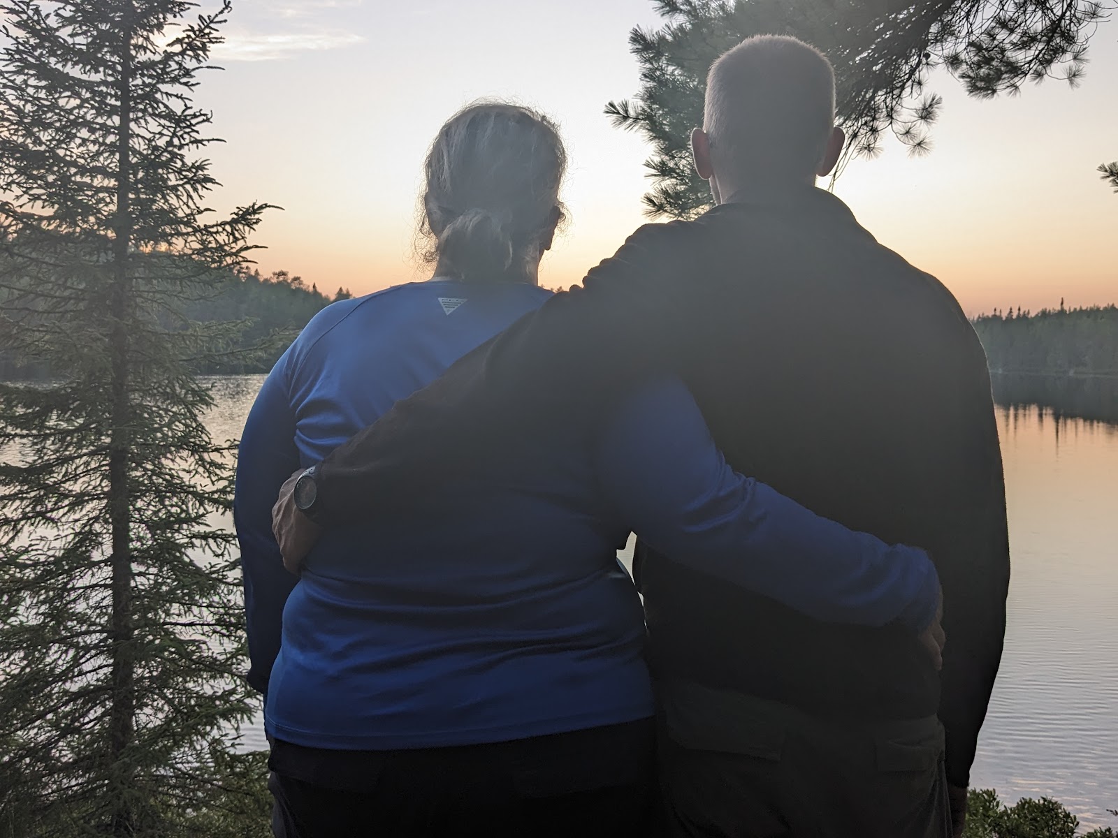
An epic trip. And of course, we are already planning what we want to do next year - this one built a lot of confidence.