Dates of Trip: 3 November 2007
Climbers: hobo and tortoise
Location: White Mountains, ME, USA
Trailhead: Mud Brook Trail
Summit Objectives: Caribou
Summit: 2840 feet
Ele. Gain: 1900 feet
Distance: 7.0 mile
Were freezing-rained out of our night of cold-weather camping thanks to Hurricane Noele, but still made the summit.
Saturday, November 3, 2007
Sunday, October 14, 2007
Mt. Hancock
Dates of Trip: 13-14 October 2007
Climbers: hobo and tortoise
Location: White Mountains, NH, USA
Trailhead: Cedar Brook/Hancock Loop
Summit Objectives: Hancock
Summit: 4420 feet
Starting Ele: 524 meter (1720 feet)
Ele. Gain: 823 meter (2700 feet)
Distance: 16 km (10.0 mile)
Mostly a backpacking trip. Packed in about 2.5 miles, camped, then summitted both north and south Hancock the next day. Brilliant fall colors at trailhead, snow on the summits!! Totally relaxing.


Sunday, September 23, 2007
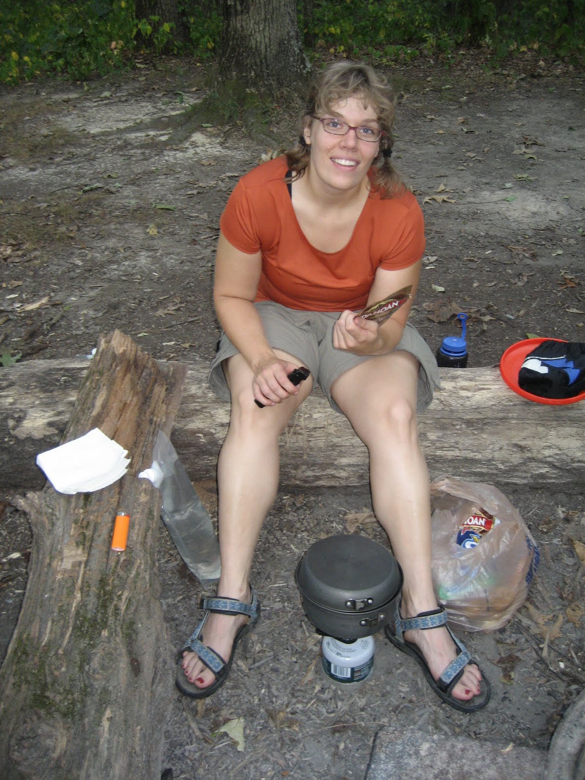
Backpack Zaleski State Park
Dates of Trip: 22-23 September 2007
Trekkers: hobo and tortoise
Location: Zaleski State Forest, Ohio
Distance: 10 miles


Trekkers: hobo and tortoise
Location: Zaleski State Forest, Ohio
Distance: 10 miles


Sunday, September 16, 2007
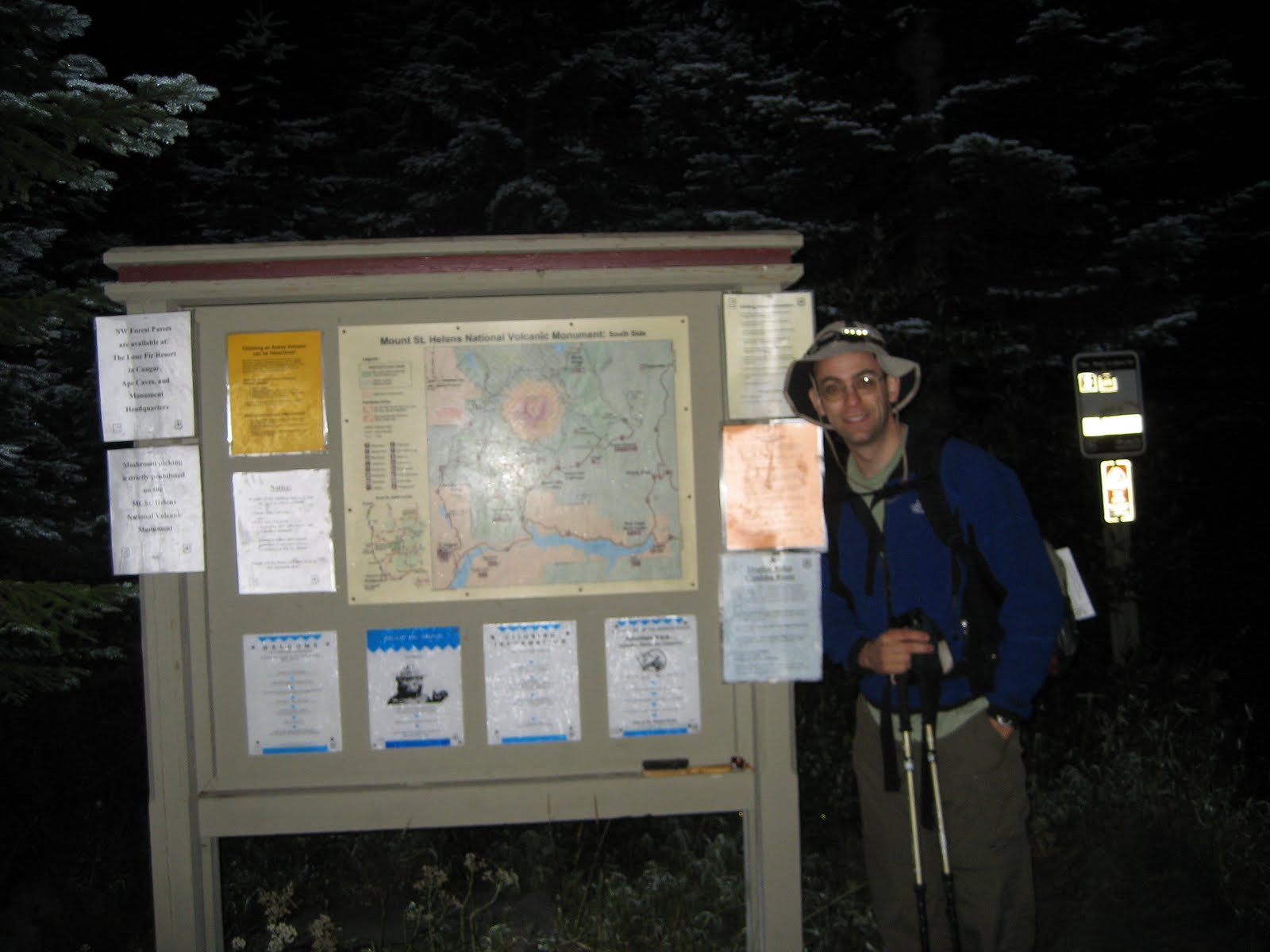
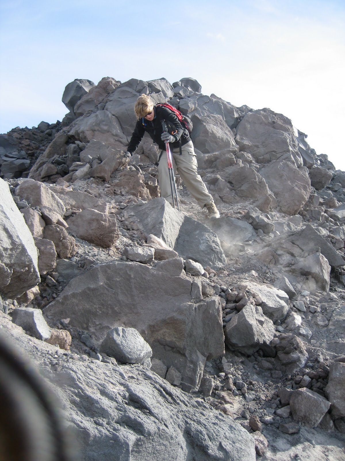
Mt. St. Helens
Dates of Trip: 16 September 2007
Climbers: hobo and tortoise
Location: Skamania County, WA, USA
Route: Climber's Bivouac, Monitor Ridge
Summit Objectives: St. Helens
Total Time: 9.0 hours
Summit: 8365 feet
Starting Ele: 1128 meter (3700 feet)
Ele. Gain: 1372 meter (4500 feet)
Distance: 16 km (10.0 mile)
Alpine start at 4:30am
Reached treeline (2 mi) in about an hour, just before the sky began to lighten. Climb was mostly through clouds - we broke above the cloud deck at 7000 ft or so, to views of Mt. Adams and Mt. Hood to the east and south. Made the crater rim with spectacular views of the crater and lava dome (smoking and smelling like sulphur!) and Mt. Rainer to the North. All surrounding terrain, including Pumice Plain was shrouded in clouds. Traversed the crater rim to the true summit (0.25 mile) just as it was enveloped in a very cold cloud at 9:40am. Had a windy, sand and ash blasted lunch on the rim before descending. We were the first party to depart, summit, and finish. Counted 77 others who were making the climb on our descent - not a bad attrition rate for 100 permits per day! Last group we passed was ascending past treeline at about 1pm... 7.5 hours after us. Very interesting. Nontechnical climb, but difficult enough to satisfy me as a wonderful way to round out the summer climbing season.


Sunday, September 2, 2007
California Peak
Dates of Trip: 2 September 2007
Climbers: hobo and tortoise
Location: Sangre de Cristo Range, CO, USA
Route: Zapata Trail
Summit Objectives: California
Total Time: 7.0 hours
Summit: 13849 feet
Starting Ele: 3049 meter (10000 feet)
Ele. Gain: 1220 meter (4000 feet)
Distance: 13 km (8.0 mile)
Climb start at 7am, summit at 10:40am, at the car by 1:45pm. Weather was fine on the ascent, but we were watching clouds gather over Mt. Lindsey from the summit. We decided to ascend quickly, but not quite quick enough - we were off the ridge but not out of the woods before the storm started. There was small hail and a lightning threat. But all was well in the end, after a little bushwhacking. Also? Several large groups of sheep, which we ran into on both ascent and descent. Very beautiful.


Subscribe to:
Comments (Atom)