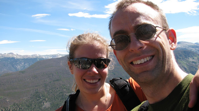
Climbers: hobo and tortoise
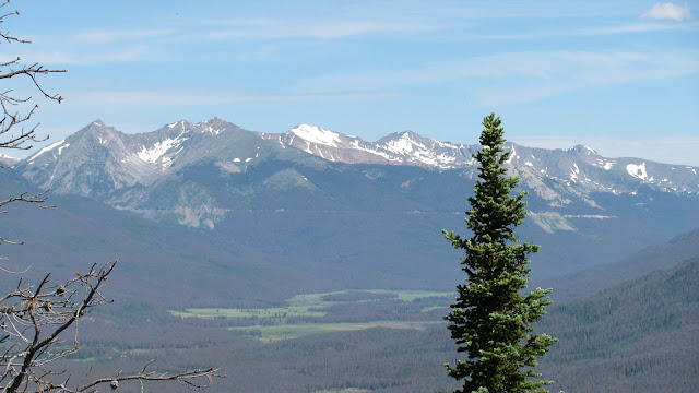
Location: Sangre de Cristo Range, CO, USA
Trailhead: Hermit Pass
Summit Objectives: Rito Alto
We took advantage of hobo's flying into Colorado Springs on Thursday, and the Air Force home football game on Saturday to sandwich in a drive down to the Sangres for some winter camping practice and a bit of hiking. We had both been sick with colds during the previous week, so we weren't sure how hard core the "hiking" part would be.
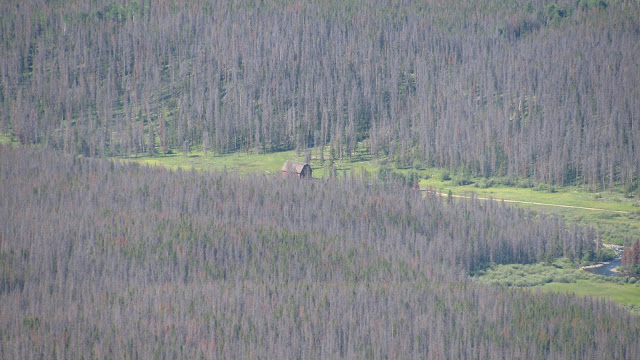
Our objective was to drive as far up Hermit Road, west of Westcliffe, as possible, as the jeep road theoretically goes all the way up to Hermit Pass at ~13000'. We made it to just above 9800' before the road was too slick up a steep hill (with a bit of a double fall line) to safely continue in the jeep. So we set up camp on a flat bit of snow, next to the lovely river that runs down from Hermit Lake. The night temperature was a very comfortable 36-ish degrees.
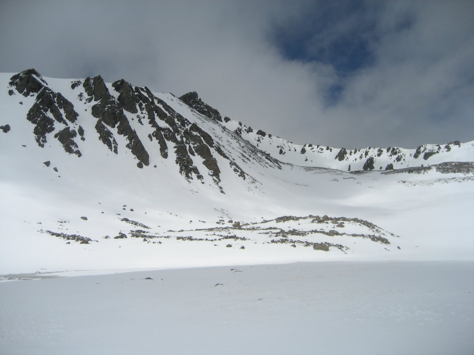
We got a good start up the jeep road in the morning, able to walk on top of the packed snow in the snowmobile tracks that covered the road. I insisted we carry my snowshoes (based on experience from Clinton/Traver/McNamee), but hobo didn't want his, so we only carried the one pair. This came in handy when we reached the spot where the snowmobiles has all turned around at the Hermit Lake Trail junction around 11,200', and soft, post-holey snow awaited us until above treeline (and even after that, in spots).
As we came to treeline at 11,800', the wind really started gusting, so we stopped at a rock-cliff shelter to gear up with long johns, balaclavas, gaiters, and goggles. As soon as we stepped out from treeline, the wind was gusting fiercely, and it only got worse as we went higher. We left the road to push straight up the hill and skip a switchback to shave off some distance, but by the time we reached 12,300', the wind had us all but stopped. It was gusting so hard that it was pushing me over. I couldn't walk when the wind was blowing, and in order to stay on my feet I had to plant my poles and duck low into the wind. We estimated that the wind was gusting up to 80 mph or so.
When the wind wasn't blowing, it was a very pleasant day! So we tried for awhile to duck and rest with the gusts and walk when it was calm. This made for really slow going as the gusts got more frequent and the calm got shorter. Since already like trying to push a brick wall up the hill, and we still had 1500' left to go (assuming the wind would only get worse [?!?] as we got higher), we decided to consider ourselves denied the summit, and enjoyed the hike down the hill and back to camp.
Back in camp, we grilled up an amazing steak dinner, and as we did, the snow started to fall. We climbed into the jeep to eat and tuned hobo's
The snowstorm would actually hit in full force during the football game, and the sketchiest part of the whole expedition turned out to be driving back to Denver from the Springs on I-25 at 35 mph with about 20 feet of visibility. :oP