Sunday, July 13, 2008

The Great Gulf

Dates of Trip: 11-13 July 2008
Climbers: hobo and tortoise
Location: Presidential Range, NH, USA
Trailhead: Six Husbands
Summit Objectives: Jefferson, Adams, Madison
Total Time: 10.0 hours
Summit: Adams at 5774 feet, Jefferson at 5712 ft, Madison at 5366 ft
Starting Ele: 1412 feet
Ele. Gain: 5300 feet
Distance: 10.0 mile

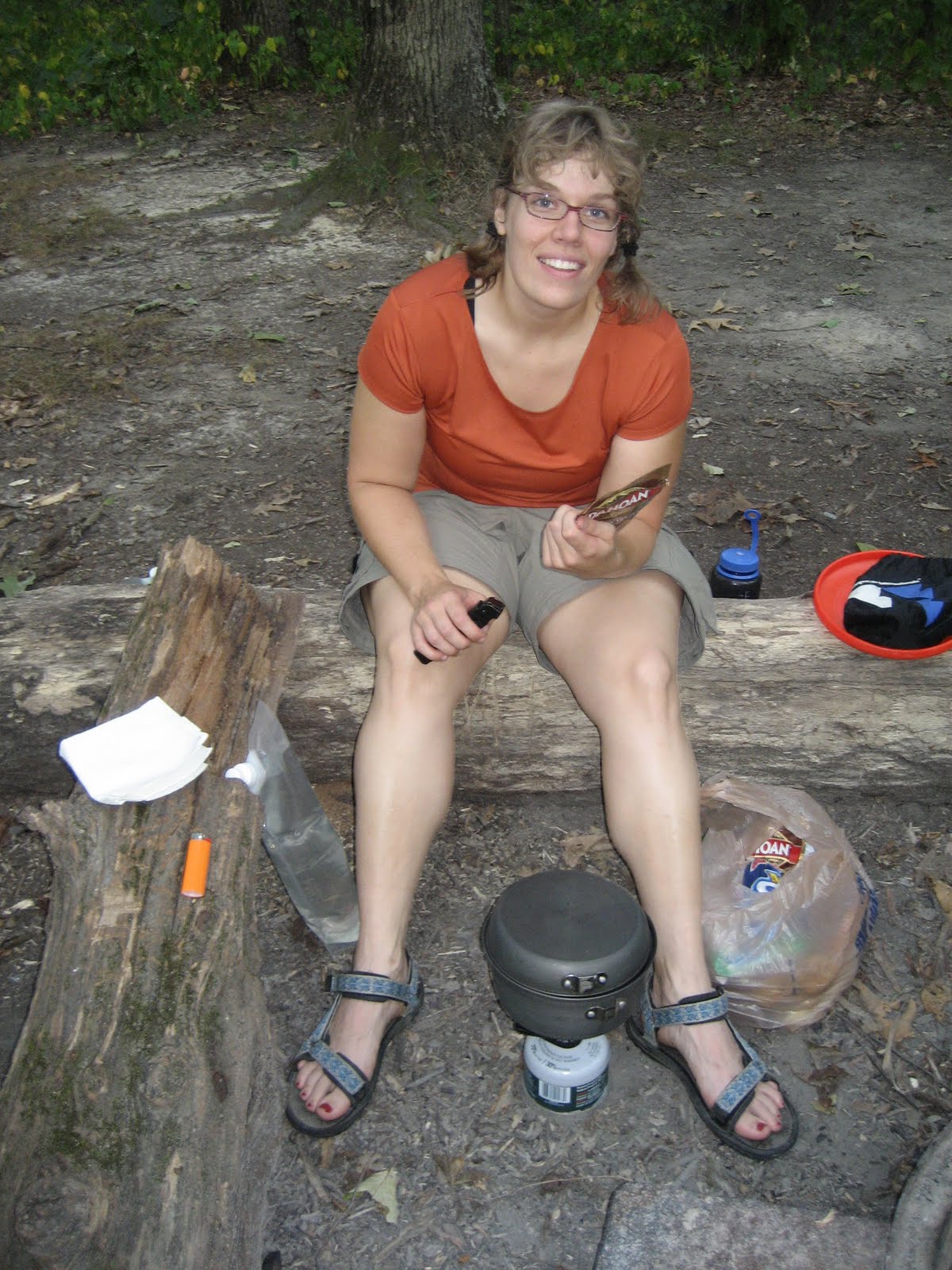
Packed in 4 miles up the Great Gulf trail to the Six Husbands/Wamsutta Junction and camped at an established site just beyond. Struck out along Six Husbands by 7:15, and scrambled up Jefferson's Knee to summit Mt. Jefferson. Then took Gulf Side trail across Edmund's Col to Mt. Adams and summitted. From there, a quick jaunt over to Madison Hut and the Mt. Madison summit. We then descended back to the Grest Gulf via The Buttress trail, arriving back in camp just after 5 pm. After one more night in camp, we packed out with very sore quads and soaked in the Peabody River before heading out. Distance/time listed is for summit day, not including pack-in.  Elevation gain is estimated cumulative, including pack in.


Sunday, June 29, 2008

Old Rag

Dates of Trip: 29 June 2008
Climbers: hobo and tortoise
Location: Shenandoah National Park, VA, USA
Trailhead: Ridge Trail/Saddle Trail
Summit Objectives: Old Rag
Total Time: 5.5 hours
Summit: 3268 feet
Ele. Gain: 2300 feet
Distance: 8.7 mile

Fun class 3 scrambling!!


Sunday, March 16, 2008

Welch/Dickey

Dates of Trip: 16 March 2008
Climbers: hobo and tortoise
Location: White Mountains, NH, USA
Trailhead: Welch/Dickey Loop
Summit Objectives: Welch, Dickey
Total Time: 4.0 hours
Summit: Dickey at 2734 feet, Welch at 2605 ft
Starting Ele: 1934 feet
Ele. Gain: 1800 feet

Fairly warm, humid day. Climbed in plastic boots and crampons all day. Cool granite ledges covered in ice with a little exposure. Lots of icefalls. Very fun!


Saturday, February 16, 2008

Mt. Pierce (aka Clinton)

Dates of Trip: 16 February 2008
Climbers: hobo and tortoise
Location: White Mountains, NH, USA
Trailhead: Crawford Path
Summit Objectives: Pierce
Total Time: 5.0 hours
Summit: 4310 feet
Starting Ele: 1900 feet
Ele. Gain: 2410 feet
Distance: 6.4 mile

Mt. Pierce is also known as Mt. Clinton. A beautiful day, though windy up on top - we went zero exposure. The group of kids behind us were in blue jeans. :o\ We climbed in our new plastic boots. Brought snowshoes but didn't use them -- the snow was fluffy but solid. Only ran into trouble right at tree line where we postholed up to the chest into tree wells a few times. Very fast descent. Dinner after at 99, and a cold, but comfortable night in the yurt at Intervale due to MITOC Avy School.

Saturday, November 3, 2007

Caribou

Dates of Trip: 3 November 2007
Climbers: hobo and tortoise
Location: White Mountains, ME, USA
Trailhead: Mud Brook Trail
Summit Objectives: Caribou
Summit: 2840 feet
Ele. Gain: 1900 feet
Distance: 7.0 mile

Were freezing-rained out of our night of cold-weather camping thanks to Hurricane Noele, but still made the summit.

Sunday, October 14, 2007

Mt. Hancock

Dates of Trip: 13-14 October 2007
Climbers: hobo and tortoise
Location: White Mountains, NH, USA
Trailhead: Cedar Brook/Hancock Loop
Summit Objectives: Hancock
Summit: 4420 feet
Starting Ele: 524 meter (1720 feet)
Ele. Gain: 823 meter (2700 feet)
Distance: 16 km (10.0 mile)

Mostly a backpacking trip. Packed in about 2.5 miles, camped, then summitted both north and south Hancock the next day. Brilliant fall colors at trailhead, snow on the summits!! Totally relaxing.


Sunday, September 23, 2007

Backpack Zaleski State Park

Dates of Trip: 22-23 September 2007
Trekkers: hobo and tortoise
Location: Zaleski State Forest, Ohio
Distance: 10 miles


Sunday, September 16, 2007

Mt. St. Helens

Dates of Trip: 16 September 2007
Climbers: hobo and tortoise
Location: Skamania County, WA, USA
Route: Climber's Bivouac, Monitor Ridge
Summit Objectives: St. Helens
Total Time: 9.0 hours
Summit: 8365 feet
Starting Ele: 1128 meter (3700 feet)
Ele. Gain: 1372 meter (4500 feet)
Distance: 16 km (10.0 mile)

Alpine start at 4:30am
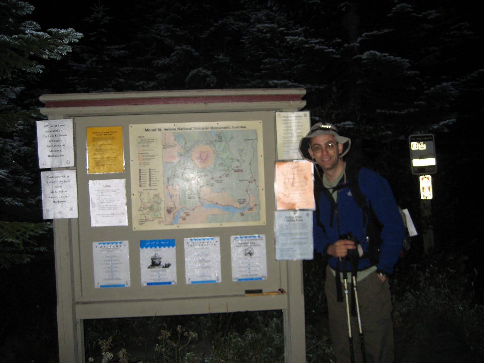
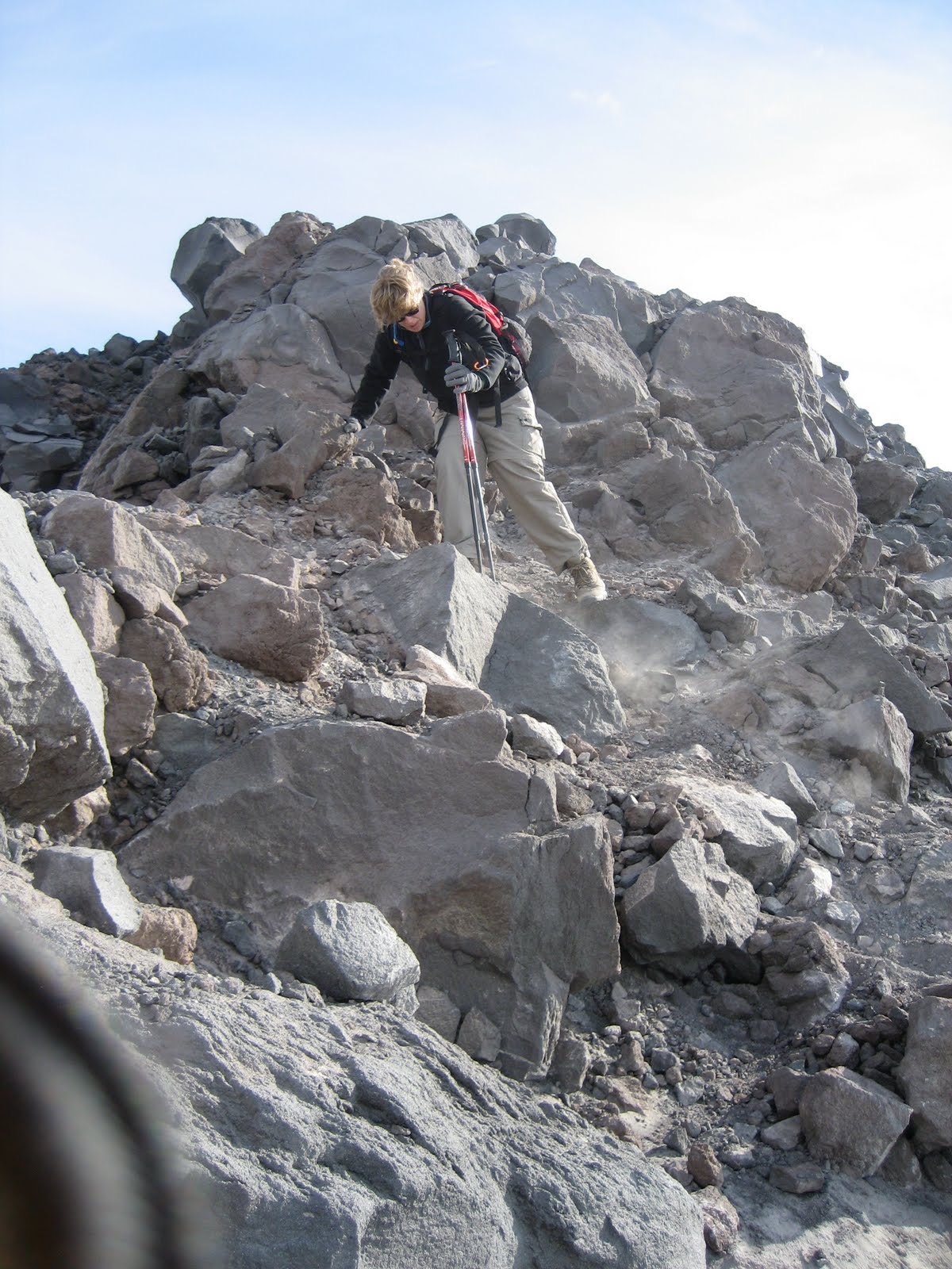
Reached treeline (2 mi) in about an hour, just before the sky began to lighten. Climb was mostly through clouds - we broke above the cloud deck at 7000 ft or so, to views of Mt. Adams and Mt. Hood to the east and south. Made the crater rim with spectacular views of the crater and lava dome (smoking and smelling like sulphur!) and Mt. Rainer to the North. All surrounding terrain, including Pumice Plain was shrouded in clouds. Traversed the crater rim to the true summit (0.25 mile) just as it was enveloped in a very cold cloud at 9:40am. Had a windy, sand and ash blasted lunch on the rim before descending. We were the first party to depart, summit, and finish. Counted 77 others who were making the climb on our descent - not a bad attrition rate for 100 permits per day! Last group we passed was ascending past treeline at about 1pm... 7.5 hours after us. Very interesting. Nontechnical climb, but difficult enough to satisfy me as a wonderful way to round out the summer climbing season.