Dates of Trip: 9-12 July 2010
Trekkers: hobo and tortoise
Location: Jasper National Park, Alberta, Canada
Trailhead: Maligne Lake
Passes: Little Shovel at 7349 ft, Big Shovel at 7644 ft, The Notch at 8235 ft
Starting Ele: 5545 ft
Ele. Gain: 4526 ft
Distance: 27.4 miles
Why Jasper? We had earned a pair of vouchers through United's "Denver Deal of the Decade" that provided one, after flying a round trip from Denver in a high-ish fare class, a voucher for a free round trip in L class (fairly low) anywhere in North America, along with two regional upgrades. We chose to fly our pricey round trip from Denver to Colorado Springs, so it turned out not so pricey. Then, we started looked for where we could get best value. Canada seemed like a great place to go - airfare is expensive, and the flights aren't really long enough to earn substantial miles. We eventually narrowed it down to Banff/Calgary or Edmonton, thinking we'd do some destination hiking in the Canadian Rockies, and since Edmonton boasted $13/day rental cars, YEG was our winner.
We flew into Edmonton after work on Thursday evening. It was fairly late, but luckily, Edmonton is of sufficient latitude that it stays light quite late in the summer. We drove out to Edson, a small town about halfway between Edmonton and Jasper, arriving right around midnight, and stayed at the HoJo.
We woke early the next morning to drive the rest of the way into Jasper, arriving in plenty of time to talk to a ranger about bears, trail conditions, and weather. Note: there is no such thing as a weather forecast up there. It's completely changeable. Don't believe anything anyone tells you. We also stopped for a "final meal" at the Soft Rock Cafe (a pun that took me way too long to get) and tanked up on cold water. From there we parked the car at the north end of the Skyline Trail, and caught a previously reserved Maligne Lake Shuttle to take us to the southern trailhead at Maligne Lake.
 |
| Waiting for the shuttle. |
 |
| The elevation profile of the route, with all the campgrounds. |
 |
| At the Maligne Lake trailhead. |
We began with a gentle climb up through the forest. We were beset by mosquitoes almost immediately. This week, I was unafraid to liberally apply the DEET. It was hot and buggy, but the scenery was nice.
As we crossed Evelyn Creek and approached the first campground there, Hobo spotted a bear exploring the established tent sites. They made eye contact, and then the bear decided to bail. I didn't look up quickly enough - I only saw his rump as he lumbered away. Hobo couldn't tell whether the bear was a black or a grizzly. He sort of had the coloring of a grizzly, but as we learned when a bear visited our house last month, blacks can be a whole range of colors from black to brown to blonde. So I guess we'll never know...
We arrived at Little Shovel, where we had a reservation, around 4pm, and happily set up camp and started to get dinner. It turned out that one of my homemade dehydrated meals had gone rancid, which I believe was probably a combination of inadequate dehydration and poor storage, and it tasted terrible when we made it. We reluctantly bagged it up and made another meal, which was still very good, luckily. In the meantime, while all of the bad-food-ness was going on, the mosquitoes were getting worse and worse, coming out for the evening feeding time. We ate bundled up in shells, gloves, and mosquito head nets -- and even so, they still get inside your
mind and drive you nuts! We were happy to dive into the tent, read a bit, and then get a good, long night's sleep after a couple of short nights before. We hiked about 6 miles the first day, to Little Shovel campground.
 |
| The view from our campsite at Little Shovel. |
 |
| Battling the mosquitoes. |
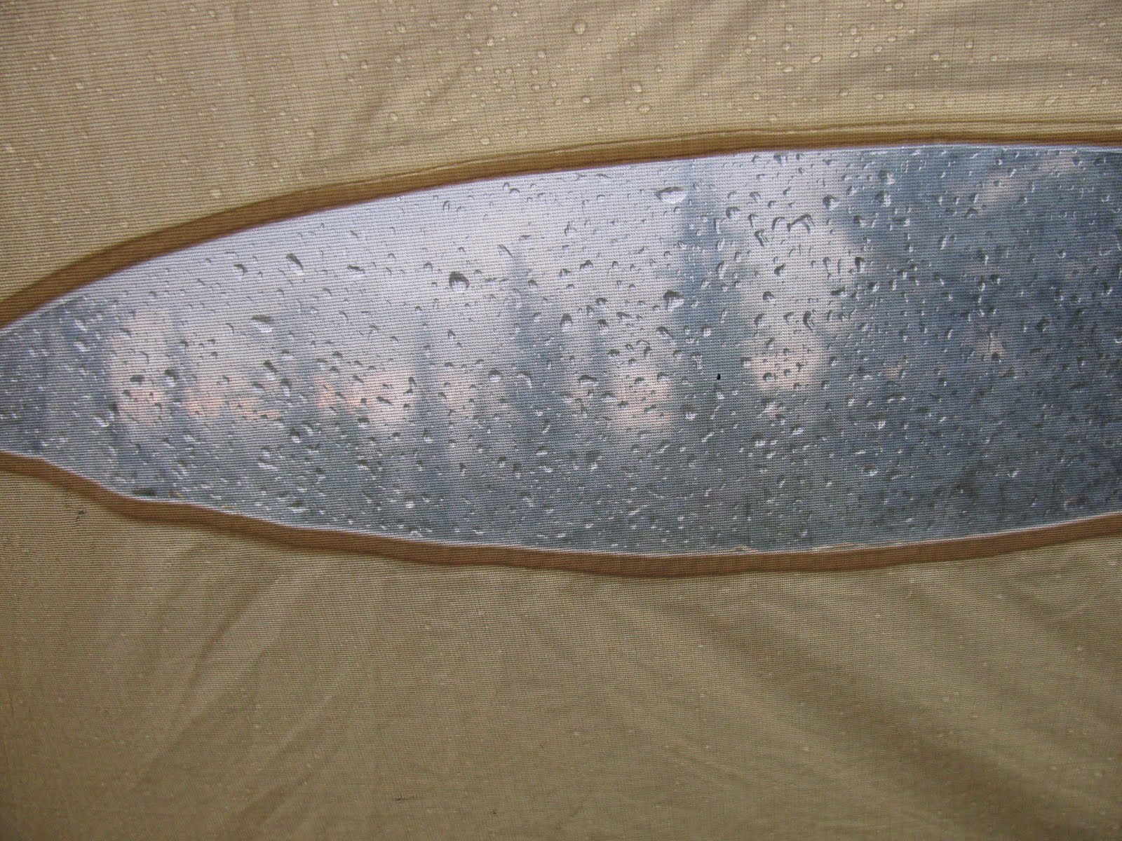
We woke up to the patter of rain on the tent. It stopped for a bit. Then it started up again. After three or four cycles of this, we decided we may as well get up and get going. The forecast for the weekend had been 28-30 degC (i.e. HOT) and sunny every single day. Yeah, that didn't happen. It would sprinkle and drizzle on and off all day that day, never really getting above 15 or so. On the plus side, I prefer cooler and a little damp for hiking - it's much more comfortable than the heat.
 |
| Waking up to rain. |
And so we struck out for Little Shovel Pass, our first of two passes (or "cols," in the French) for the day. Very quickly after leaving camp, we broke out above treeline, with great views (in spite of the clouds and fog), into an alpine meadow, where we started to run into families of marmots, who were not at all shy.
 |
| Marmot. |
 |
| Alpine meadows above treeline |
 |
| Wilted at Little Shovel Pass. |
After Little Shovel Pass, the trail descends to a river crossing. Given that we were still there midway through the snowmelt, plus the fact that it had rained in the night, the river was swollen, and it took a brave leap and some hugging of the bank on the far side to get past. Very shortly thereafter, we came to the Snowbowl campground where we met some Jasper-ites who we would leapfrog with on the trail several times over the following days. We stopped there for lunch of whole wheat tortilla wraps with summer sausage and romano cheese. Food of the gods!
 |
| River needs crossed. |
 |
| Don't fall in the drink! |
 |
| Intrepid hikers. |
After Snowbowl, the trail crosses expansive alpine meadows with some more trival and non-trivial river crossings, before climbing up to Big Shovel Pass. Somewhere in there, it started to rain in earnest, and it got really miserable for a while. The north side of Big Shovel Pass was a barren rocky environment with large snowfields remaining. But it was only a short way thereafter to the turnoff for Curator campground, our stop for the night. At the turnoff, we could see the Notch - the final and highest pass on the trail - looming up 1000ft in front of us, our conquest for the next day. And then, rather unfortunately, we turned down the Curator trail, and descended 600 ft or so to the campground. Have I mentioned how I hate losing elevation?
 |
| Big Shovel Pass. |
 |
| Hikers ahead of us on the rocky/snowy terrain after Big Shovel |
Luckily though, Curator redeemed itself with its gorgeousness and lack of mosquitoes. The camp site is situated amongst cris-crossing streams flowing down from majestic waterfalls and has a lovely view of a gorgeous rock headwall. The rain lifted, and we had a nice hot dinner and some good conversation with a couple of super-friendly Canadian (is that redundant?) ladies - one from Edmonton and one from Victoria. We had hiked about 7 miles the second day, from Little Shovel to Curator.
 |
| Campsite at Curator |
 |
| Hobo demonstrates the elaborate camp toilets. |
 |
| Airlift-able toilet barrels. |
 |
| Filtering water on our front porch. |
 |
| Waterfall above Curator. |
 |
| Bear bag pulley system. |
The next morning, we set out to conquer the Notch. After huffing it back up to the main trail from Curator and getting appropriately poked about how "the Coloradans should show the rest of us how it's done," we set off up the hill.
 |
| Trail junction: The Notch ahead. |
 |
| The Notch |
The Notch definitely isn't trivial - certainly not this early in the season, when there's still a significant snowpack. It starts out with a climb up some talus - leading to some class 2 moves that are tough with a large pack. The talus gives way to annoying scree where you slide down a step for every two you take. And on the final pitch, you ascend up the snowpack, kicking in steps like you're going up a staircase. We had left our ice axes and crampons in the car based on a proclamation of a couple of trail-finishers there that "the Notch wasn't that bad - I didn't even have poles!" It would have sucked to carry them, that's for sure, but without ice axes, that snowpack was marginally safe. It was doable, and not that difficult, but one slip would have ended quite badly.
 |
| On the talus. |
 |
| Hikers ahead approaching the massive cornice. |
 |
| Refrigerator sized ice chunks in the avalanche debris field. |
I spent the final 100 ft or so *not* looking down - not looking anywhere but at the next footprints that I would be stepping in, and after repeating my mantra ("Every step I take is another step closer to the top.") I made it onto the saddle. We couldn't resist dropping our packs and running up one of the two peaks flanking the Notch. It was wicked windy, but there were spectacular views of the surrounding peaks and the Jasper NP ranges further off as well. We continued to thoroughly enjoy the view as we continued on the trail - the next section was a beautiful ridge walk near the same elevation as the top of the Notch.
 |
| Up the staircase, kicking steps. |
 |
| Coming up past the cornice. |
 |
| Cool tower from the peak above the Notch. |
 |
| On the Notch. |
 |
| Mt. Edith Cavell. Signature Jasper. |
 |
| On the ridge looking towards Mt. Tekarra. |
At the end of the ridge, we began to drop down into the basin, and it started to sprinkle again. We had reservations that final night at the Signal campground, 5 miles from the trail end (and the car), but we had been kicking around the possibility of just walking out that last 5 miles - which would make the third day a 14-miler. But if we did walk all the way out, we could camp in the frontcountry and then take a drive down Icefields Parkway. After finishing the Notch we felt really good, so the end seemed in sight. After the next 6.5 miles down into the basin to Tekarra campground in the rain, the feet were sore and the spirits were dampened. We sat for a bit and ate some lunch, and rested our feet. The rain stopped. We felt better. We decided to press on to Signal, only 3 more miles away, and make a decision to continue or not then.
 |
| Taunting happy fun snow bridge. |
 |
| Dropping into the basin. |
How to cross a river in three steps:
 |
| 1. Throw pack over first. |
 |
| 2. Take flying leap. |
 |
| 3. Raise arms and become pleased with self. |
The trail from Tekarra to Signal crossed the widest river yet (where I put my boot in the drink twice), and then up onto a small ridge again. It actually went over one more small, unnamed pass, and then opened up to views of the gorgeous ranges that flank Jasper-town.
 |
| Crossing the river. Too wide to jump it. |
 |
| Looking down into the Jasper valley. |
 |
| Filtering with a view. |
Once the trail joined up with the Signal fire road and we reached the campground, we started to smell the end of the trail. Our feet were killing us, but we motored down the last five miles. I sang to distract myself and to give a rhythm for my steps.
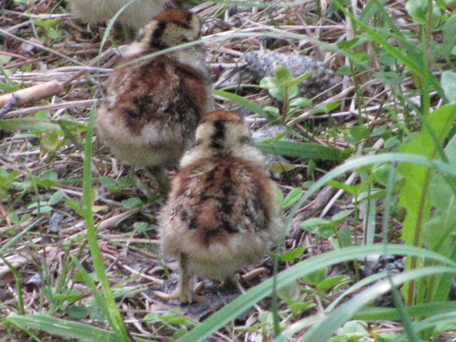
On the fire road, we met up with a mama grouse and her little chickies. The chicks were all pecking along the roadside. When mama grouse spotted us, she softly called to the chicks, who then gathered underneath her, and she sat and covered them, protecting them from us. She watched us suspiciously until we passed. It was sooooo cool.
 |
| Mama grouse. |
 |
| Chickies! |
 |
| Eyeing us suspiciously. |
It seemed like forever, but we reached the car just after 6:30pm. We threw our gear in the trunk and limped around stretching before driving back to town. On the way, we drove through a torrential downpour, which apparently narrowly missed us on the trail. The rain produced an incredible full rainbow with a near full double. Though we appreciated the beauty, we did not
freak out and become internet sensations.
 |
| Aaaand we're done. |
We celebrated with pizza at Jasper Pizza, our aching legs propped up in the booth on the benches. We then drove down to Jonas Creek and pitched our tent, and got an early start (it didn't get dark until about midnight, and started to get light around 4am) the next morning. We drank in the beauty of Jasper and Banff, including the stunning Columbia Icefields, then enjoyed a quiet drive back to Edmonton via Calgary.
 |
| The backside of the Notch, viewed from the road. |
 |
| Glaciers at Columbia Icefields. |
 |
| Glaciers at Columbia Icefields. |
A fun little coda: our checked luggage was mistakenly sent to the regular baggage scan instead of the oversized baggage scan. Because of this, YEG security had to do a hand check of the baggage... which meant taking everything out. And I do mean everything: the tent, the sleeping pads, the three day old smelly trail clothes, the romano cheese that had been unrefrigerated for days... it was embarrassing and annoying and amusing all at once. In the end, though, I have to say that the security people handled the situation professionally, sensitively, and with an impressive amount of common sense.
We arrived home in Denver on time and exhausted - the best way.